black and brown leather padded tub sofa

Expert Geospatial Solutions

Providing maritime boundary, drone services, and 3D mapping and modeling expertise.

Boundary Delineation

Specializing in maritime boundary and continental shelf delineation.

Advanced drone services for precise mapping.

3D modeling for enhanced visualization.
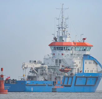
Drone Services
3D Mapping

Expert Geospatial Solutions for You

With over 20 years of experience, we specialize in maritime boundary delineation, continental shelf mapping, drone services, and 3D modeling to provide tailored geospatial solutions.

150+

15

Trusted by Experts

Proven Success

Geospatial Solutions

Expert GIS consulting for maritime boundaries, continental shelf delineation, drone services, and 3D mapping.

Maritime Boundary Services

Specializing in maritime boundary delineation to ensure compliance and clarity in your geospatial projects.

Aerial view of a coastal area featuring a distinct boundary between vibrant blue water and sandy shoreline with patches of green vegetation. The image displays intricate patterns created by water channels in the sand.
Drone Mapping

Utilizing advanced drone technology for precise 3D mapping and modeling tailored to your needs.
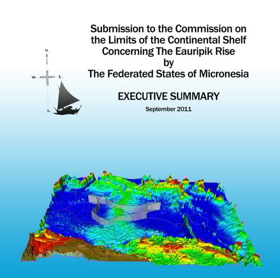
An aerial view of a coastline showing the boundary between a sandy beach and a dense forest. The landscape is divided diagonally, with the water forming a gentle curve along the edge of the beach.

Gallery

Explore our innovative geospatial solutions and stunning visualizations.

Aerial view of a coastline with clear differentiation between land and sea. The land includes geometric agricultural fields in varying shades of green and brown, with a tractor visible in one of the fields. The ocean is dark blue with waves crashing against the shore.
An aerial view of a coastal area featuring a large body of water with docks and ships. The landscape includes a bridge, roads, and an extensive grid of agricultural fields and urban areas. The horizon is marked by mountains and scattered clouds in the sky.
A satellite image showing a coastal area with intricate patterns of land and water. The land appears arid and brown, while the water is a rich mix of blues and turquoise.
A large blue and white ship with orange accents is positioned on calm waters. The ship has a complex array of antennas and equipment on its upper deck. A small red buoy is floating nearby with a flag attached.
An aerial view of a large water body with irregularly shaped land masses creating a striking pattern. The land appears arid with few vegetation patches, contrasting against the deep green of the water. The image captures the intricate boundary where land meets water, highlighting the unique natural formations.

Scott Sweet provided exceptional geospatial solutions for our maritime project. His expertise in boundary delineation and 3D mapping was invaluable. Highly recommend his services!

John Doe

An aerial view of a shoreline with patches of greenery extending into the water. The image captures the boundary where land meets water, with various shades of green and brown vegetation creating a textured landscape.

★★★★★